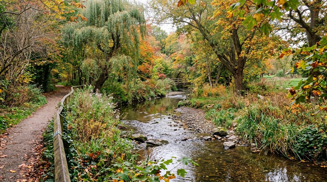
Winding beneath suburban streets, railway culverts, and municipal green spaces, Norbury Brook is one of South London’s most significant yet easily overlooked waterways. Originating in the higher ground of Addiscombe and Selhurst, this historic natural stream flows northwest across northern Croydon, cutting directly through Thornton Heath and Norbury before becoming the River Graveney and eventually emptying into the River Wandle.
For thousands of SW16 commuters and park visitors who cross its path every day, the brook represents a vital living link between ancient natural topography and nineteenth-century urban drainage engineering.
From Addiscombe Springs to Norbury Park
Historically rising from springs near Addiscombe, Norbury Brook formed a crucial drainage artery for north-east Surrey farmland long before London’s urban expansion reached Croydon. Flowing through Heavers Meadow and Selhurst railway lands, the stream enters open daylight in public spaces such as Thornton Heath Recreation Ground before making its way toward Norbury.
Within Norbury itself, the brook borders the eastern perimeter of Norbury Park, where it flows along a wooded corridor of mature willows, alders, and sycamores. In earlier centuries, this natural watercourse provided irrigation for local market gardens and fed ornamental estate lakes, including the former Graveney-fed lake created in 1802 at Norbury Hall.
The Transformation into the River Graveney
A distinctive geographic quirk of the waterway is its change of identity as it flows past the historic Surrey border. At Hermitage Bridge on London Road (near Streatham High Road), the stream transitions from Norbury Brook to become known as the River Graveney.
From this point onward, the Graveney defines much of the traditional boundary between Croydon and Lambeth, flowing past Streatham Vale and modern Tooting toward South Wimbledon. It ultimately discharges its waters into the River Wandle, making Norbury Brook the Wandle’s single largest tributary system.
Culverts, Canalisation and Flood Management
As suburban housing estates multiplied during the late nineteenth and early twentieth centuries, the brook’s natural floodplain was largely built over. The brook, once meandering freely across pastures, was prone to rapid swelling after heavy rainfall on the London Clay basin.
To protect new residential streets from inundation, municipal engineers progressively channelled, deepened, and culverted large sections of the stream into concrete flumes and underground brick conduits:
- Concrete Canalisation: In several stretches, high concrete retaining walls were installed to speed water through built-up areas and prevent bank erosion.
- Subterranean Culverts: Long stretches run directly under railway lines, major road junctions, and private residential gardens, emerging only briefly in community parks.
- Strategic Flood Asset: Today, the brook is classified by the Environment Agency and Croydon Council as a designated main river, serving as an indispensable stormwater conduit during South London downpours.
Urban Ecology and Community Green Corridors
Despite heavy engineering, the open sections of Norbury Brook provide vital wildlife corridors threading through dense suburban streets. In Norbury Park and Heavers Meadow, the unculverted banks support diverse micro-habitats:
- Bird Life: Grey herons, kingfishers, and grey wagtails are regularly spotted foraging for small fish and invertebrates along the shallow gravel beds.
- Canopy Trees: Native crack willow, black alder, and elder stabilise the soil and provide nesting cover for suburban songbirds.
- Aquatic Connectivity: Alongside the River Wandle catchment network, the brook serves as an essential flight path and feeding route for local bat populations during summer evenings.
Practical River Guide for Norbury Residents
- Where to See It: The open stream is easily viewed from the walking paths along the boundary of Norbury Park (accessible via Norbury Avenue and Green Lane) and upstream at Thornton Heath Recreation Ground.
- Boundary Marker: Watch for the historic bridge crossing at Hermitage Bridge on London Road, where the waterway shifts name from Norbury Brook to River Graveney.
- Flood Reporting: Because the brook is a statutory main river, blockages, pollution incidents, or severe bank erosion should be reported directly to the Environment Agency’s 24-hour incident hotline (0800 80 70 60) or to Croydon Council’s local flood team.